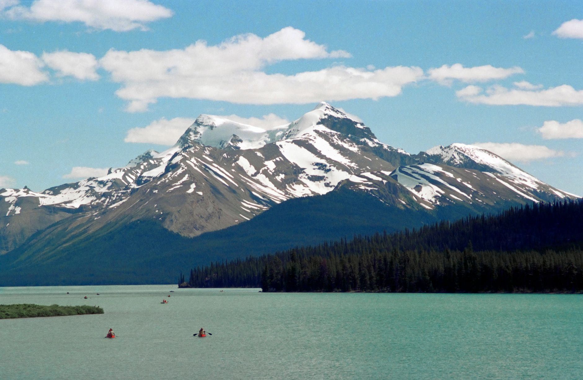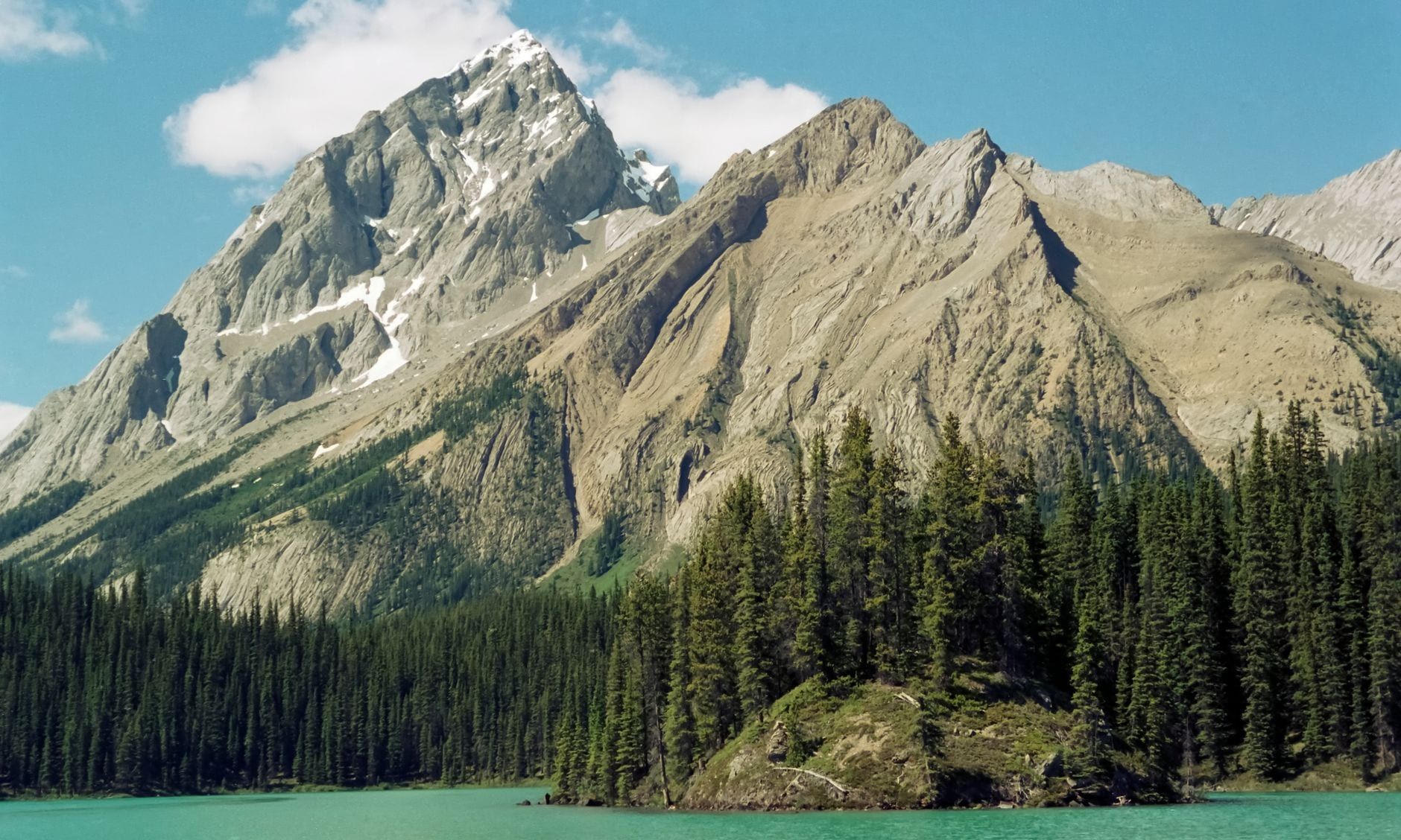
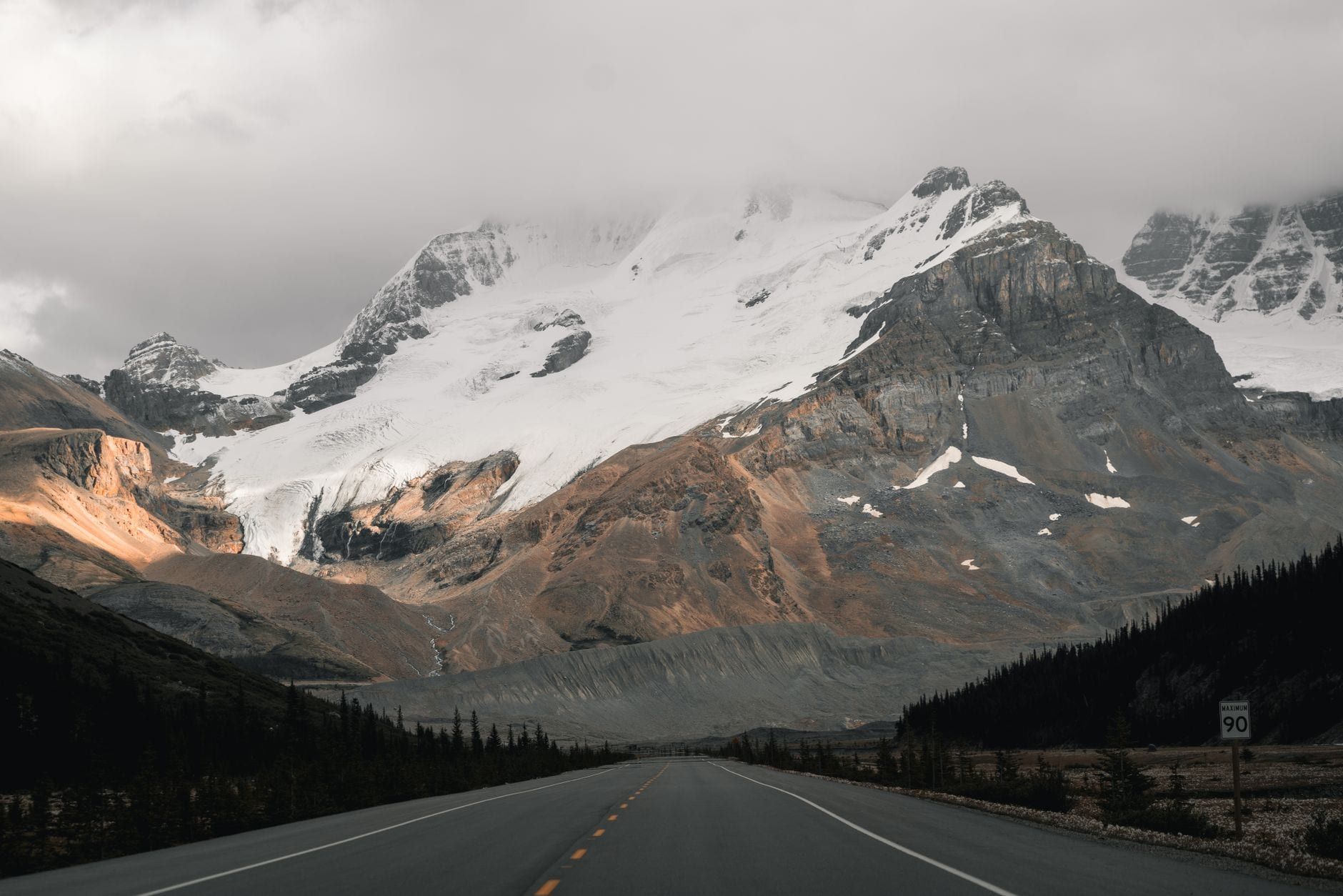
Banff to Jasper is 288 km of highway, and about four hours of driving if you never once pull over. Don't do that. The first 57 km, Banff to Lake Louise on the Trans-Canada, is getting-there road; the remaining 232 km are the Icefields Parkway, a two-lane road through the heart of the Canadian Rockies that puts a glacier, a turquoise lake or a limestone canyon around nearly every bend. Most people spend a full day on it. Two or three is better.
This guide runs the route in driving order, with kilometre markers from Banff and a time budget for every stop, then covers pass prices (including the 2026 free-admission window), fuel, cell service, the winter tire law and the car-free alternatives.
Banff to Jasper at a Glance
Start with the numbers. Google Maps quotes 3.5 to 4 hours for the 288 km, and it's right about the asphalt alone. Add a two-lane road with few passing lanes, motorhomes doing 70, wildlife on the pavement and a pull-off every few kilometres, and the day fills itself. Count on five hours minimum with stops; most travellers treat the drive as the day's whole activity.
- 288 km (179 mi) one-way; 232 km of it is the Icefields Parkway, Lake Louise to Jasper
- 3.5-4 hours nonstop; 5+ hours with realistic stops
- Highway 1 to Lake Louise (57 km), then Highway 93 North
- A Parks Canada pass, checked near both ends of the parkway
- Mid-June to early October, when every service on the route is open
The Route: One Highway, Two Parks
Two highways do the whole job. You leave Banff on the Trans-Canada (Highway 1) and drive 57 km northwest to Lake Louise; just north of the village, Highway 93 North splits off and the Icefields Parkway begins. From there it's 232 km through Banff National Park's high country and into Jasper National Park, finishing at the town of Jasper. The road opened in 1940 and has carried road trips ever since.
Expect a standard two-lane scenic highway, undivided almost end to end, with long stretches where passing is impossible. That's why the drive outruns its estimate: you'll sit behind a rental motorhome with a lake worth photographing on your left and nowhere to pass for ten minutes. Route-finding is never a problem — pull-offs sit at every named viewpoint.
Both directions deliver the same road. Guides lean slightly toward south-to-north, with the big scenery building toward the Columbia Icefield, and if you're weighing the two towns against each other, our Jasper versus Banff comparison sorts them out. For narration between stops, an audio self-guided driving tour plays through the car speakers as you go.
Best Stops Between Banff and Jasper, in Driving Order
Every stop below carries its kilometre marker from Banff and a time budget, in the order you'll meet it. Four or five make a full day. Pick the ones you actually want — the stretches between them are the view.
Vermilion Lakes and the Minnewanka detour (2 km)
Banff's warm-up act sits 2 km out of town: Vermilion Lakes, a dead-end side road with Mount Rundle reflected in still water at dawn and dusk. Budget half an hour, more if you time it for the light. The Two Jack Lake and Lake Minnewanka loop is the other warm-up, if you'd rather a big lake than a quiet one.
Johnston Canyon (25 km)
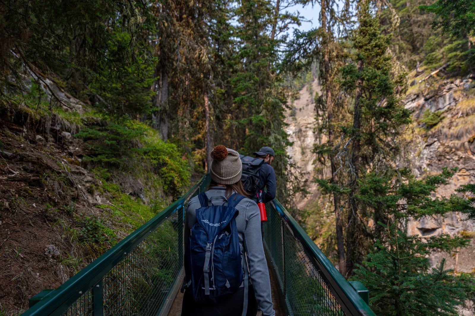
Take the Bow Valley Parkway turn-off instead of the Trans-Canada, and Johnston Canyon appears 25 km out: catwalks along the canyon wall lead to a lower and an upper waterfall, up to 2.5 hours return for both. The lower falls are the closer and quicker of the pair — keep those if the day is tight.
Lake Louise and the Moraine Lake problem (57 km)
Lake Louise is where the parkway begins and where the first logistics bite. Paid parking runs about $42 a day and fills early, so the Parks Canada shuttle or Roam Transit from Banff are the saner summer choices. Moraine Lake branches off nearby, and personal vehicles have been banned there since 2023 — access is by the Parks Canada shuttle or a booked operator such as the Moraine Lake Bus Company. If Moraine is on your list, book that shuttle before you book anything else.
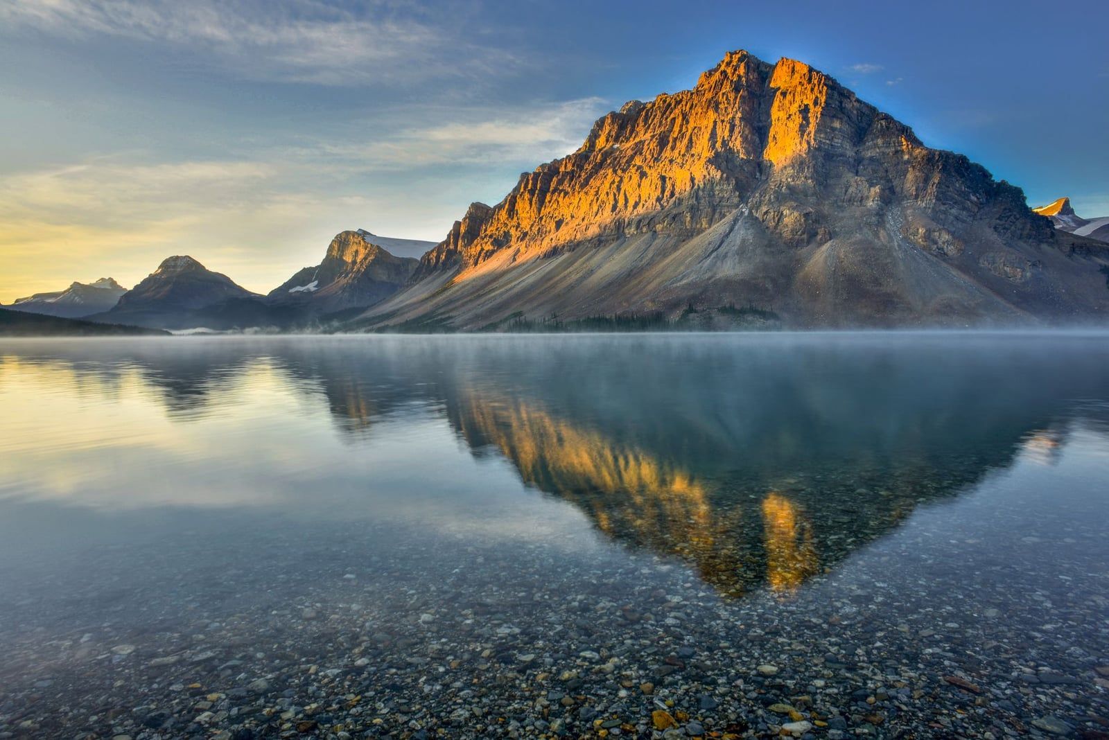
Bow Lake (95 km)
Bow Lake is the parkway's first glacier-fed lake and its best picnic stop, with a shoreline walk straight off the highway. It's also the trailhead for Bow Glacier Falls, one of the bigger hikes of the drive; thirty minutes on the shoreline covers the driving-day version.
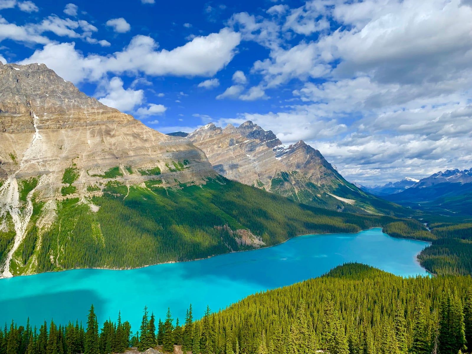
Bow Summit and Peyto Lake (100 km)
Bow Summit is the highest point on the whole drive, and a 10-to-15-minute uphill path from the parking lot ends at the Peyto Lake viewpoint, the famous turquoise one. Budget 30 to 40 minutes. In July or August, arrive before mid-morning or share the railing.
Mistaya Canyon and the Big Bend (130 km)
Mistaya Canyon is 1 km each way on an old road, about 45 minutes return, to a slot the Mistaya River has sawed through limestone; bridges let you look straight down into it. Another 41 km north, the Big Bend viewpoint (171 km) climbs a hairpin with a panorama back down the parkway. Most drivers blow past it. It costs five minutes.
Columbia Icefield and Athabasca Glacier (185 km)
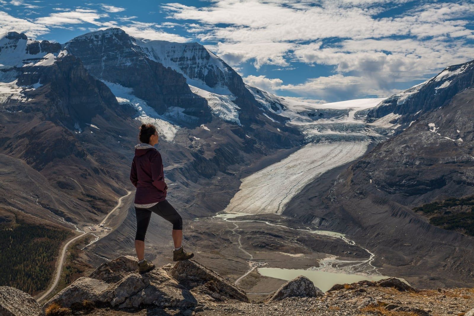
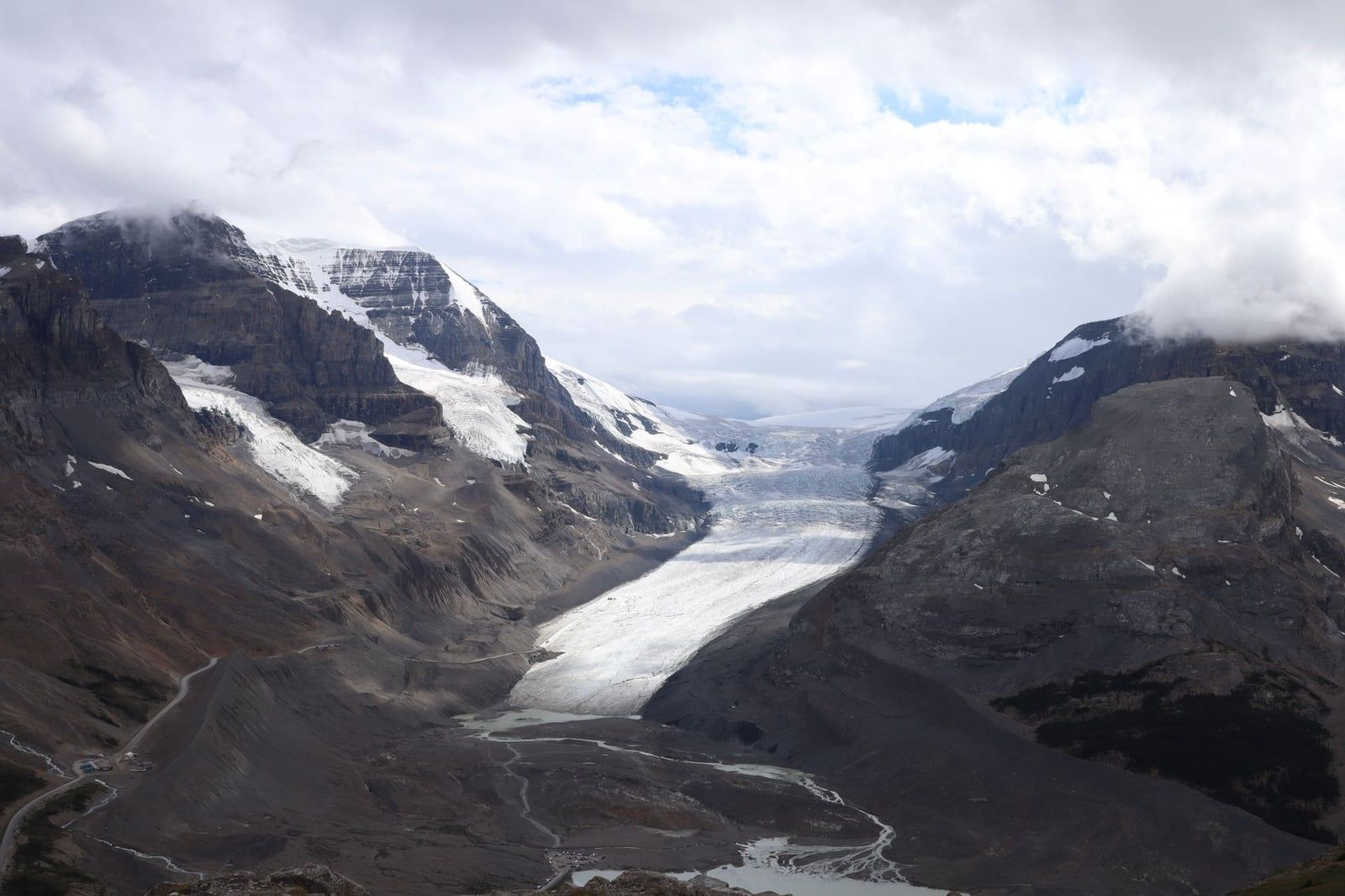
This is the stop to protect time for. The Columbia Icefield, one of the largest in the Rockies, drains down the Athabasca Glacier to within walking distance of the highway. You can walk to the glacier's toe free, ride an Ice Explorer snowcoach onto the ice, or cross the glass-floored Skywalk, hung 280 m above the valley floor. Budget two to four hours, more with a tour booked. The Icefield Centre, and everything in it, runs roughly mid-May through late September.
Sunwapta Falls (234 km)
Sunwapta Falls drop 18 m a short walk from the parking lot, with the Sunwapta Falls Resort beside it for coffee and toilets. The lower falls add a 4 km return walk through forest and thin the crowds right out. Twenty minutes covers the upper deck; an hour if you walk down.
Athabasca Falls (257 km)
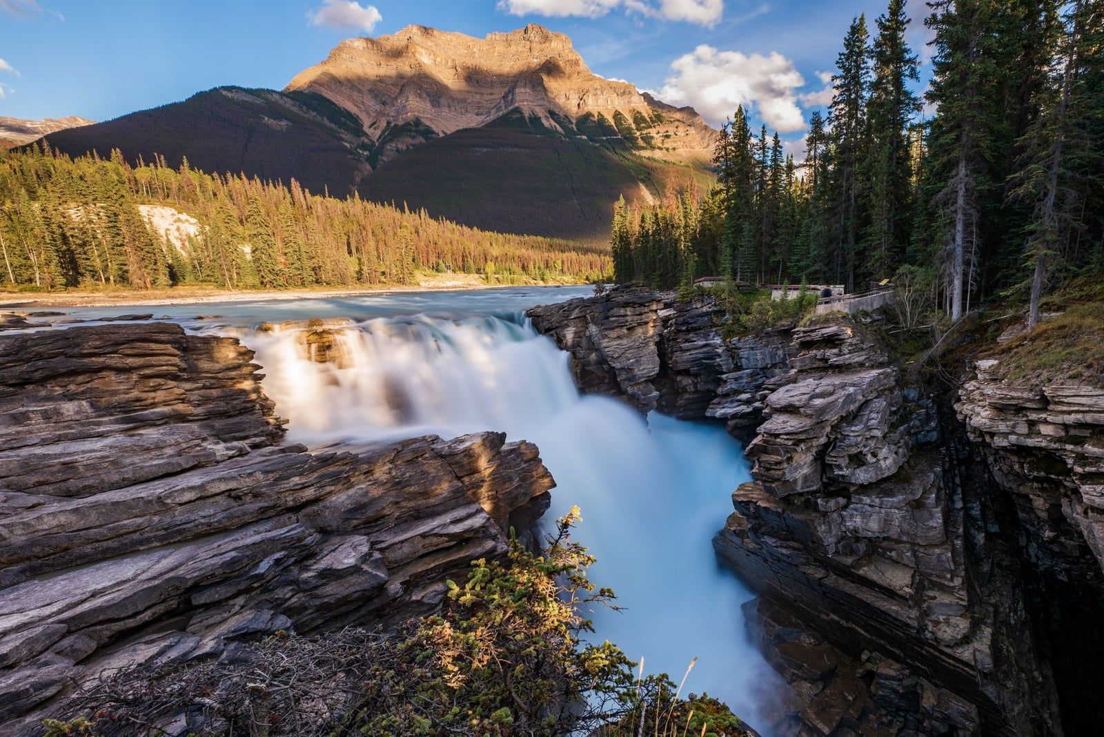
Athabasca Falls drop 23 m and land hard enough to rank among the most powerful in the Canadian mountain parks. Platforms and short trails thread both rims of the gorge, and an hour covers everything. From here it's 31 km — half an hour, no stops — into Jasper.
Best Short Hikes Off the Parkway
One rule first: one or two hikes per driving day, never five. The parkway's best walks sort into three tiers.
Under an hour: the Peyto Lake viewpoint (10-15 minutes up), the Mistaya Canyon walk (45 minutes return) and the Bow Lake shoreline. Sneakers handle all three.
Half a day: Parker Ridge, 4 km return in 1.5 to 2 hours, climbing to a full view of the Saskatchewan Glacier — ice most people only glimpse from the highway. Johnston Canyon sits in this tier too, at up to 2.5 hours return.
A full day: Wilcox Pass, above the Columbia Icefield, gives the best free look at the Athabasca Glacier — the same ice the snowcoach tours sell, seen from a ridge instead of a bus. Bow Glacier Falls from Bow Lake and Helen Lake fill out the tier. Past the icefield, the best hikes in Jasper National Park take over where the parkway leaves off.
Driving the Parkway: Fuel, Food, Cell Service & Road Etiquette
Fuel is a binary problem. Saskatchewan River Crossing, roughly halfway, holds the only pump on the parkway — summer-only and priced like a monopoly. Otherwise it's Banff, Lake Louise or Jasper, the last two year-round. A full tank at Lake Louise covers all 232 km with margin to spare; don't roll into the Crossing on fumes expecting a deal.
Food is nearly as thin. On-route options amount to Lake Louise Village, Saskatchewan River Crossing, the Columbia Icefield Discovery Centre and Sunwapta Falls Resort — all seasonal, all slammed at noon. Pack a cooler. Flush toilets sit at Lake Louise Village, the Crossing and the Icefield Centre; Bow Lake, Peyto Lake and Mistaya Canyon get drop toilets.
Assume zero cell service on the parkway. Heading north, coverage dies just past Herbert Lake; leaving Jasper, it dies past the Valley of the Five Lakes trailhead. Winter takes what's left. Download offline maps before Banff — navigation, booking confirmations and emergency calls all stop working out there.
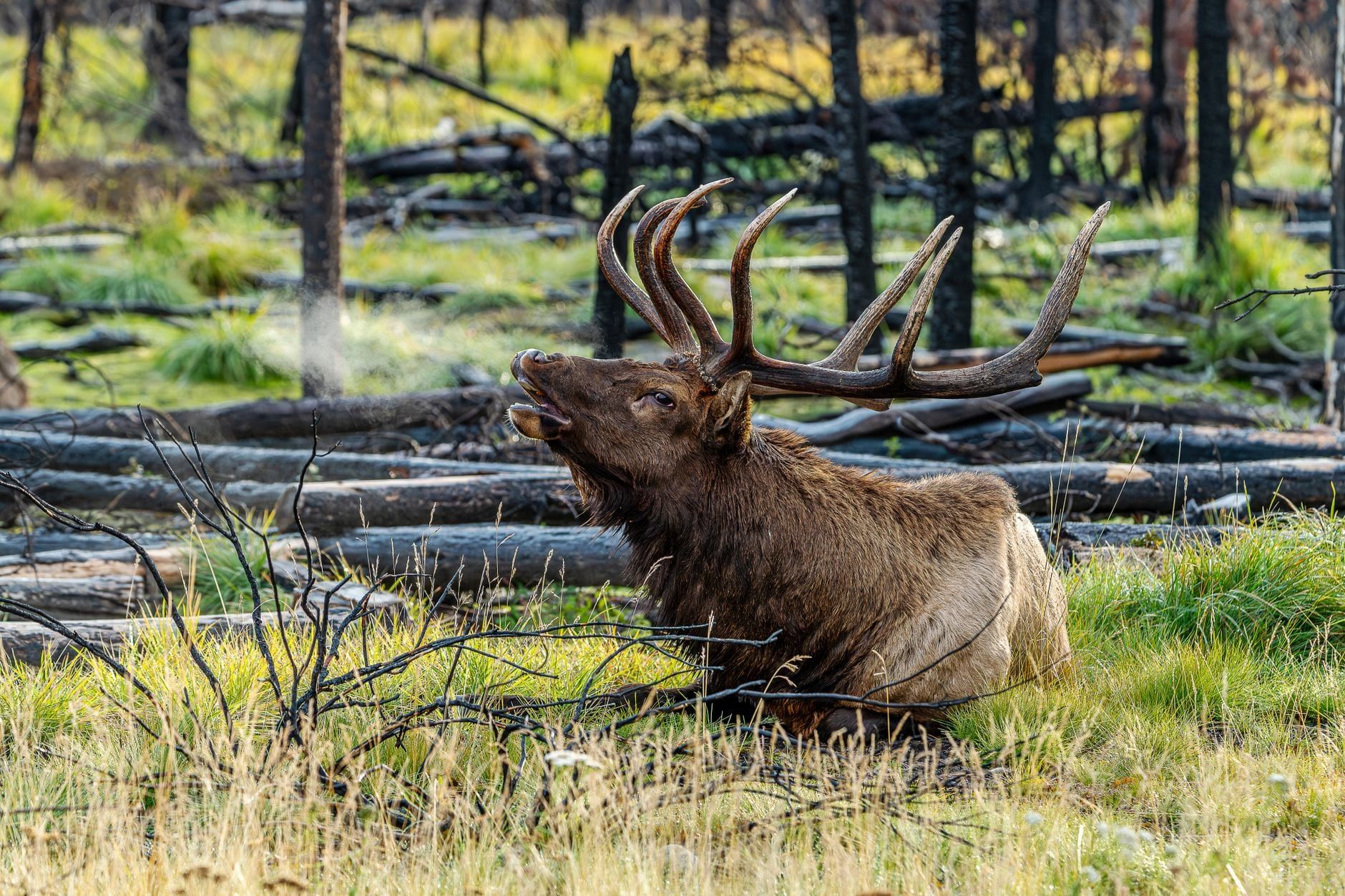
Wildlife creates the other hazard: the bear jam. Stopping in a travel lane for a roadside grizzly backs traffic up for kilometres, and Parks Canada discourages stopping anywhere but designated pull-offs — wardens can write tickets. Watch from inside the car, keep 30 m from elk and moose and 100 m from bears, and move along. Our Jasper wildlife guide covers what you're likely to see.
Start before 8 am. Parking at Peyto Lake and the icefield, morning light on the peaks and a gap in the RV procession all belong to early risers. By midday in July the parkway runs like a parade; it thins again after 4 pm.
When to Drive It: Seasons & Winter Rules
Mid-June through early October is the full-service window: every viewpoint, trail, restroom, restaurant and shuttle running, high trails clear of snow. July and August carry the crowds — roughly 80% of Jasper's annual visitors arrive in summer, and the parking lots show it. Late June and September split the difference nicely.
Snow can fall at elevation in any month. Banff can sit at 20°C while the Columbia Icefield hovers near freezing, so a warm layer and a shell belong in the car even in July. Shoulder-season drivers should check the forecast the night before and keep a plan B — a whiteout over Bow Summit reroutes the whole day.
Winter is a different trip. The road stays open all year, closing only for big storms or avalanche control, and those closures rarely outlast a day or two. Everything else closes: fuel, food, flush toilets, lodges and campgrounds shut November through April, daylight shrinks, and cell coverage disappears. Check 511 Alberta and the Parks Canada road report before committing.
Getting There Without a Car: Shuttles, Tours & Transfers
You can get there without a car, though the options narrow fast. No Uber operates in the parks, and no train connects Banff and Jasper in a day — VIA Rail reaches Jasper from Edmonton or Vancouver, and the Rocky Mountaineer runs multi-day packages. What does connect them:
| Option | What you get | Indicative price |
|---|---|---|
| Brewster Express | Direct coach with hotel pick-ups in both towns | ~$120 one-way |
| SunDog sightseeing tour | ~12-hour one-way tour with a 4-hour Columbia Icefield stop and Athabasca Falls | ~$280 adult / $140 child |
| Poparide | Rideshare seats in a local driver's car | $25-44 per seat |
| Private transfer | Vehicle and driver for groups of up to 14-24 | By quote |
The SunDog tour doubles as your sightseeing day: you trade the wheel for a window seat and still get the icefield, with a direct winter shuttle running October through April via its Calgary Connector. Poparide is the budget move, with departure times set by whoever's driving. Brewster is the plain A-to-B.
Renting still suits most trips. The standard play is Calgary in, Edmonton out: collect the car in Calgary, drive north through Banff and Jasper, drop it in Edmonton and fly home, trading a one-way rental fee for zero backtracking. For guided alternatives of every kind, the Jasper tours page rounds up the options.
Park Pass: What It Costs and Which One to Buy
Yes, you need one — the parkway crosses two national parks, and a single pass covers both. It's checked near Lake Louise and Jasper at the parkway's ends. Daily rates run $12.25 adult, $10.75 senior, free for youth 17 and under, and $24.50 for a family or group of up to seven in one vehicle.
Break-even on the annual Discovery Pass lands on day seven: $83.50 adult, $71.50 senior or $167.50 family against the daily rates, valid 12 months across 80+ Parks Canada sites. A Rockies week, or a return trip within the year, pays for it. Anything shorter, buy daily.
Buy online ahead of the gate line, at the park gates on the Trans-Canada, or at kiosks near Lake Louise and Jasper at both ends of the parkway. Our hours and fees guide tracks current rates.
One Day or Three? Sample Itineraries & Overnight Stops
One long day works if you leave early and hike nothing. The hour-by-hour version:
- 7 am — leave Banff with a full tank and a packed cooler
- 8 am — Lake Louise photo stop, before the lots fill
- 10 am — Peyto Lake viewpoint, then Mistaya Canyon
- 12-3 pm — Columbia Icefield: lunch, Ice Explorer or Skywalk
- 3:30 pm — Sunwapta Falls, upper deck
- 4:30 pm — Athabasca Falls, then half an hour into Jasper
That's a ten-hour day with no slack — one bear jam or long lunch and you're finishing in the dark. Two days is the sweet spot. Split at the Columbia Icefield or Bow Lake: day one takes Banff's warm-ups, Johnston Canyon and Lake Louise (with a Moraine Lake shuttle morning if you booked one) and sleeps mid-route; day two takes Peyto, a Parker Ridge or Wilcox Pass hike, the icefield and both falls, rolling into Jasper by dinner. A third day absorbs Helen Lake or Bow Glacier Falls and makes the drive the trip.
Sleeping on-route beats racing it. The Glacier View Lodge at the icefield (summer only), the Lodge at Bow Lake, The Crossing Resort and Sunwapta Falls Rocky Mountain Lodge all sit on the parkway; wilderness hostels at Mosquito Creek, Rampart Creek, Hilda Creek and Beauty Creek keep it cheap. Parkway campsites are first-come, first-served.
Then there's Jasper — quieter than Banff, inside the world's second-largest dark-sky preserve, with Maligne Lake and a thousand kilometres of trail on the doorstep. Our things to do in Jasper guide picks up where the parkway ends, and the full Jasper itinerary builds the days after it.
Banff to Jasper FAQ
Short answers to the questions planners ask most.
Frequently asked questions
How long does it take to drive from Banff to Jasper?
The drive is 288 km (179 miles) and takes 3.5 to 4 hours without stops. With the stops you're making the drive for, it becomes a full day — five hours at minimum.
Can you drive Banff to Jasper in one day?
Yes — leave early and keep each stop under half an hour, as the itinerary above does. Don't attempt the round trip in a day; two to three days is the sweet spot for hikes and the Columbia Icefield.
Do you need a park pass to drive the Icefields Parkway?
Yes. The parkway crosses Banff and Jasper national parks, and passes are checked near both ends. A daily adult pass costs $12.25 (family or group $24.50); admission is free for everyone June 19 to September 7, 2026.
Can you drive the Icefields Parkway in winter?
The road stays open all winter, closing only for storms and avalanche control, usually a day or two at a time. Winter tires or chains are legally mandatory November 1 to March 31, every on-route service shuts November to April, and cell service is near zero — check 511.alberta.ca first.
Where do you get gas between Banff and Jasper?
One place: Saskatchewan River Crossing, roughly halfway, open only in summer and priced accordingly. Otherwise fill up in Banff, Lake Louise or Jasper — Lake Louise's stations run year-round.
Which direction is better, Banff to Jasper or Jasper to Banff?
It's the same road either way. Guides lean slightly toward south-to-north, with the big scenery building toward the Columbia Icefield, but flights and one-way rental logistics usually make the call — Calgary in, Edmonton out favours Banff-to-Jasper.
Is Jasper worth the drive from Banff?
Ask any travel forum and the answer is a loud yes — plenty of travellers rank Jasper above Banff. It's quieter, sits inside the world's second-largest dark-sky preserve, and the drive itself is half the reason to go.
Sources
- parks.canada.ca/pn-np/ab/banff/visit/tarifs-fees
- parks.canada.ca/pn-np/ab/jasper/visit/tarifs-fees
- parks.canada.ca/voyage-travel/region/ouest-west/itin1
- parks.canada.ca/pn-np/ab/jasper/visit/rendre-getthere
- parks.canada.ca/pn-np/ab/jasper/securite-safety/faune-wildlife
- parks.canada.ca/pn-np/ab/jasper/gestion-management/designation/cieletoile-darksk
- en.wikipedia.org/wiki/Jasper_National_Park